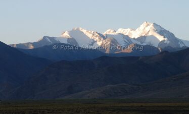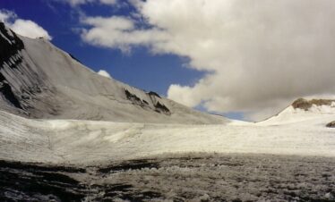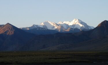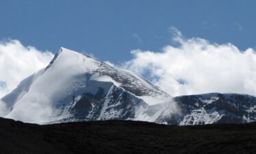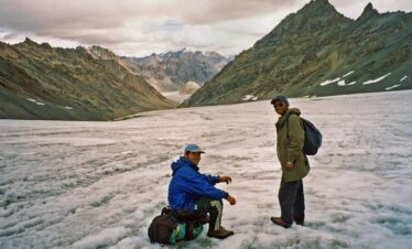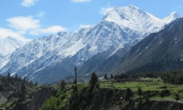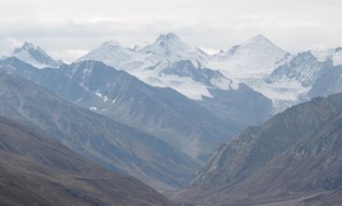
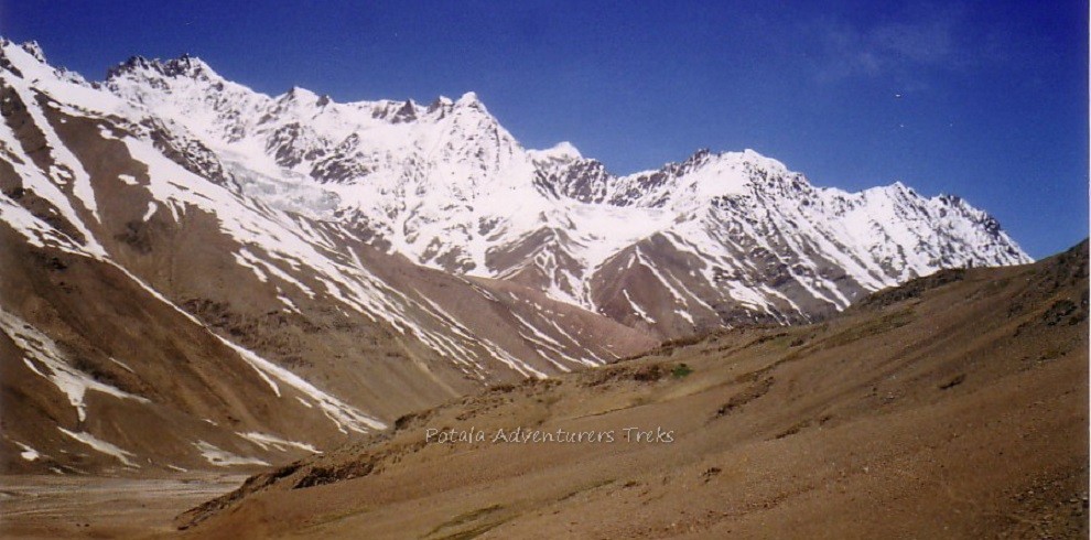
Mulkila 6517m (21,380ft) is the highest peak in the Lahaul-Spiti province of the Himachal Pradesh state of the Indian Himalayas. The mountain is one of 10 summits of the ‘M’ series – and although the highest at 6517m, it was given the title ‘M4’ when the region was first surveyed.
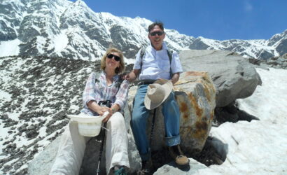
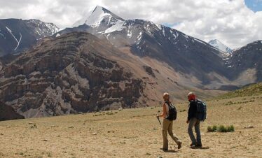
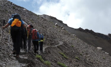
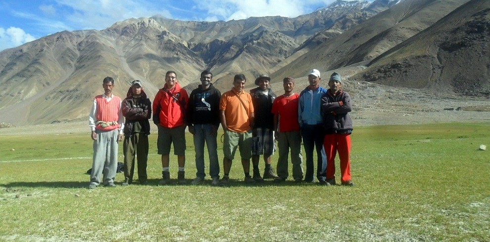
Himachal Pradesh is a leading and popular trekking destination in Indian Himalaya. With many short treks in Himachal, Hamta pass is considered one of the best trek in the Manali region. Hamta pass at an altitude of 4270m, located on the easternmost part of Pir Panjal range of Himalayan foothills. Hamta pass trek is a breathtaking but relatively moderate trek that anyone beginner or experienced trekkers can do. Famed for spectacular Himalayan landscapes that change dramatically as you progress and combining stunning mountain scenery with three or four days of manageable walking. Crossing Hamta pass the landscape changes dramatically from lush green to barren semi-desert of Lahaul & Spiti district of Himachal. Hamta pass frequently used by Shepherds from the remote Kangra region, who goes at higher meadows of Lahaul during summer with their flocks of sheep. Indrasan and Deo Tibba are two peaks that you will see during the Hamta pass crossing.
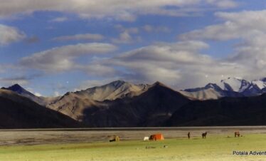
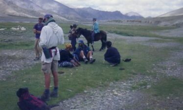
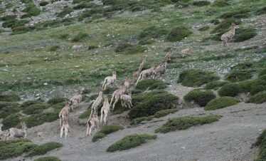
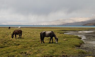
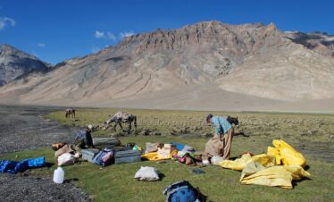
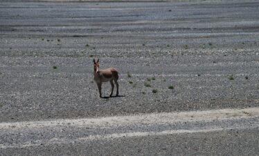
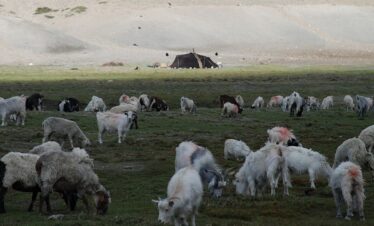
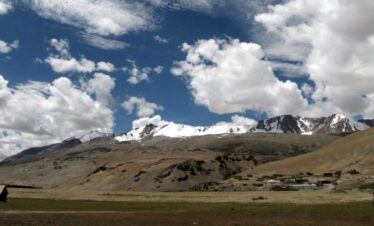
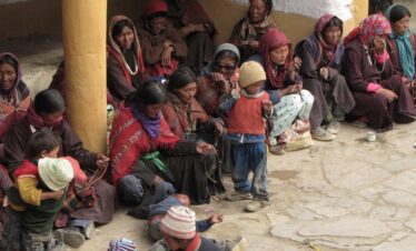
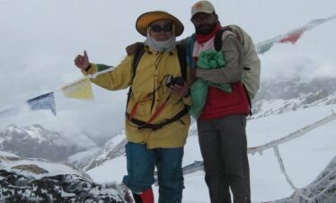
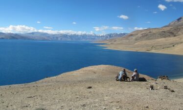
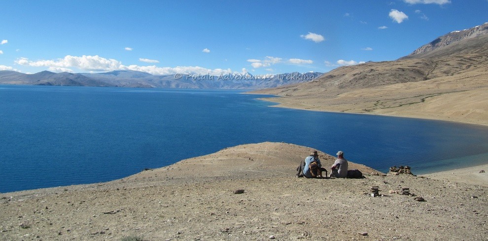
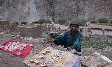
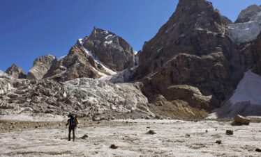
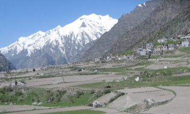
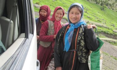
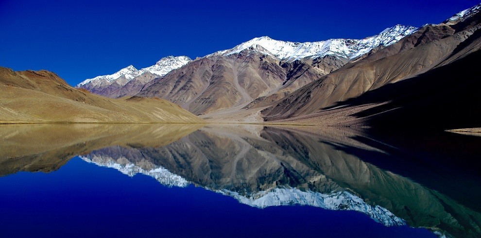
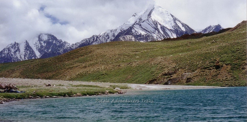
Chandra Tal meaning the Lake of Moon is situated at an altitude of 4270m in the Himalayan region of Lahaul and Spiti. Chandratal is a popular destination for trekkers and campers. The trail from Kunzum La is more scenic and panoramic overlooking Samudra Tapu glacier, CB peaks, KR group of a peak, and among all the highest Mulkila peak standing west of Chandratal. It takes only 4 hrs. walk from Kunzum La to Chandratal Lake. The vast meadows of Lake and its surroundings are favorite summer homes for Gaddi Shepherds who graze their flocks in the vicinity of the Lake. The Gaddi shepherds have long held traditional grazing rights in the area. The Lake is also one of the two high-altitude wetlands of India which have been designated as Ramsar sites.
-
Car
-
4,890 m
-
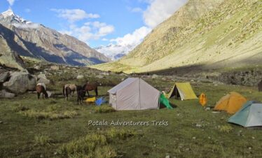
Tent
-
Manali
-
Manali
-
Mid-June, July, Aug, Sept, till Mid-Oct
-
Trekking/Hiking
-
All meals during the trek
-
Moderate
-
4,700 m
Overview
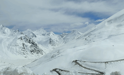
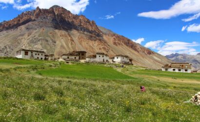
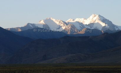
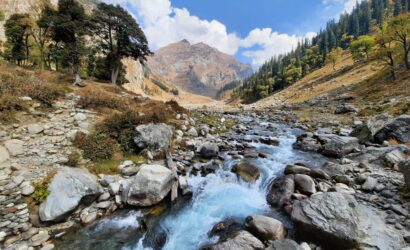
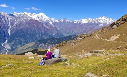
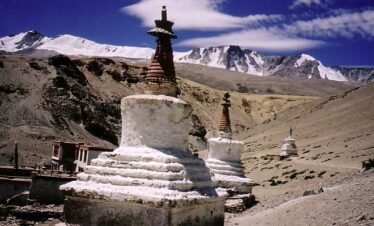
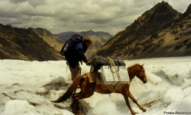
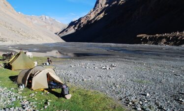
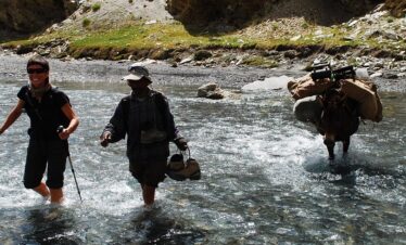
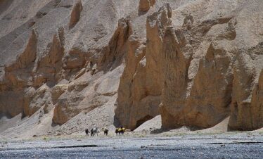
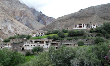
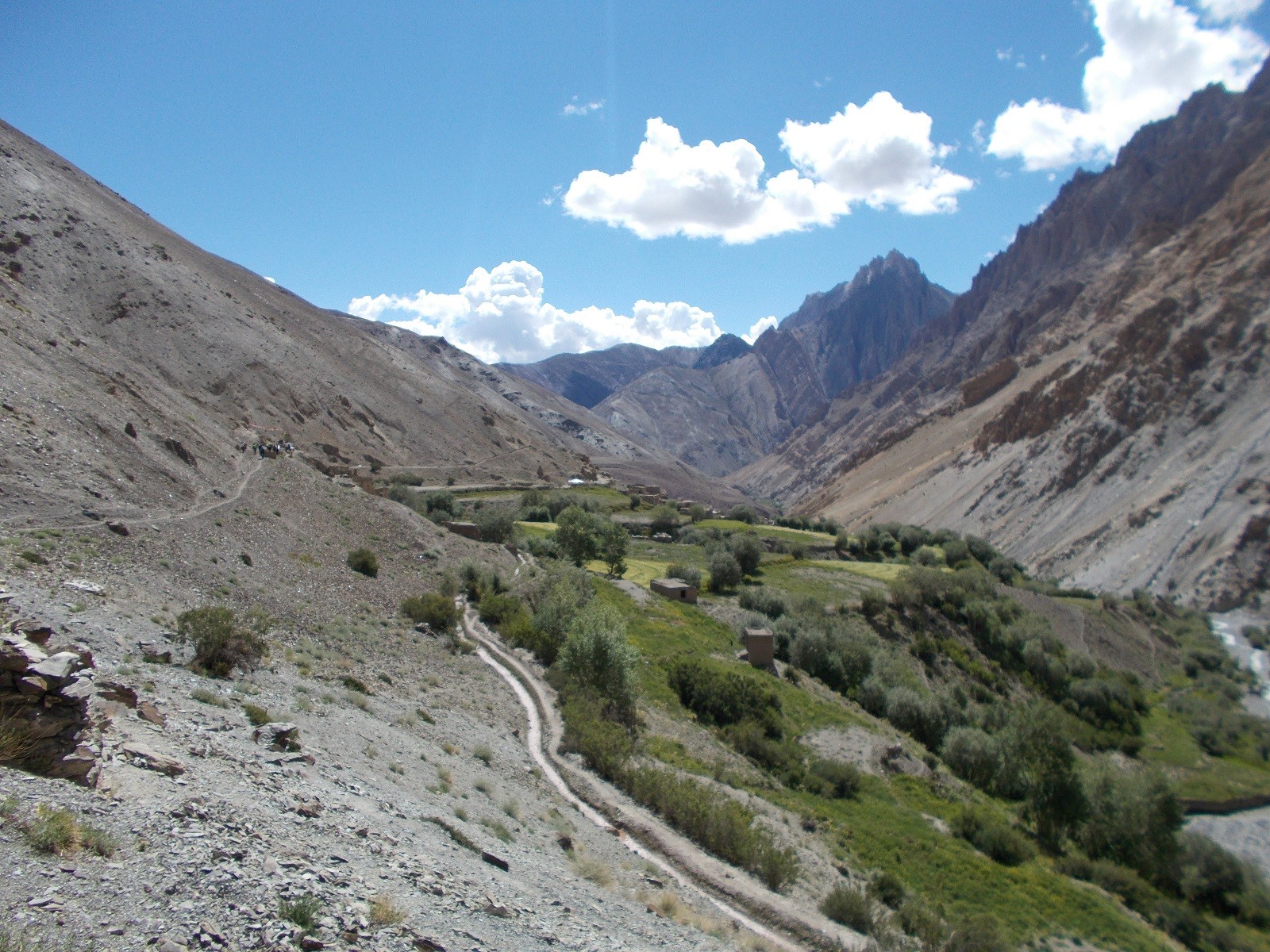
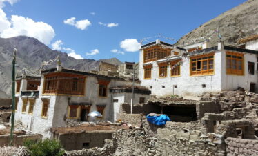
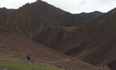
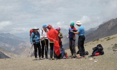
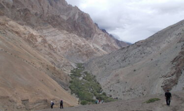
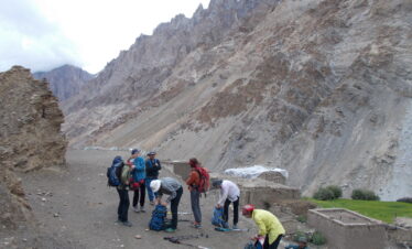
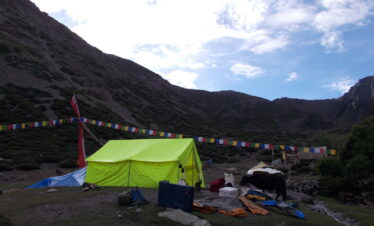
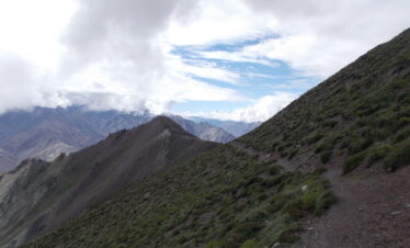
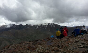
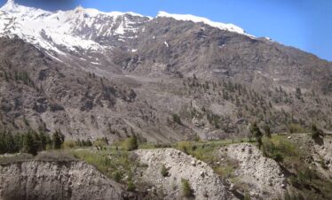
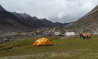
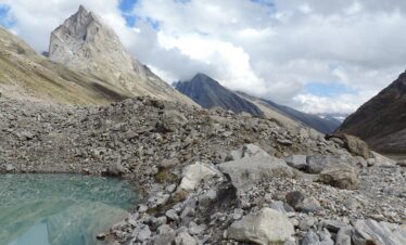
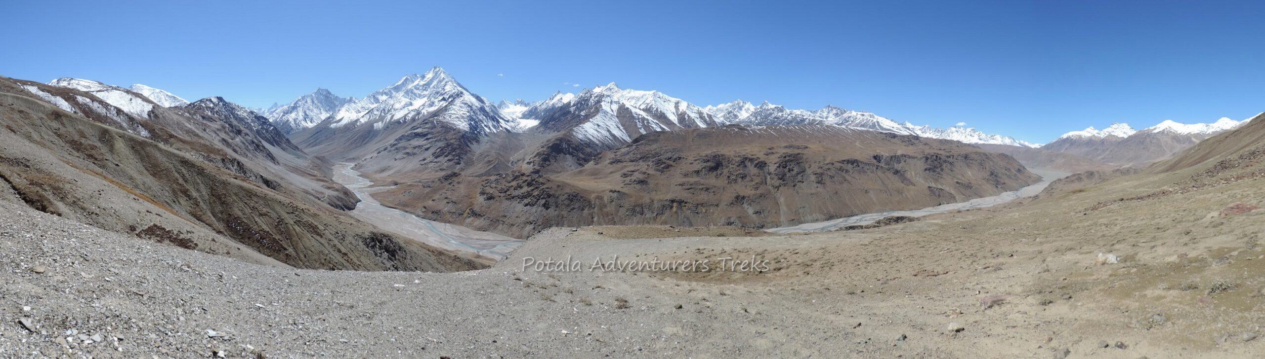
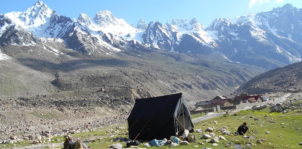
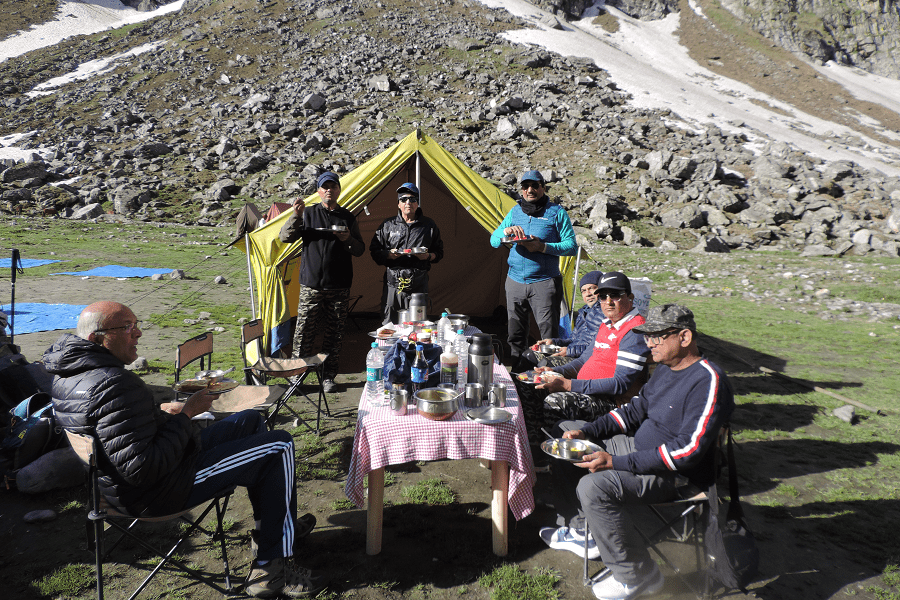
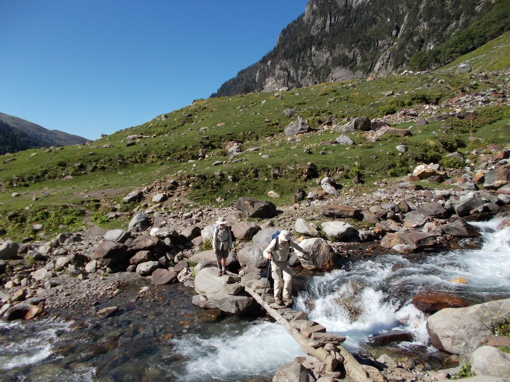
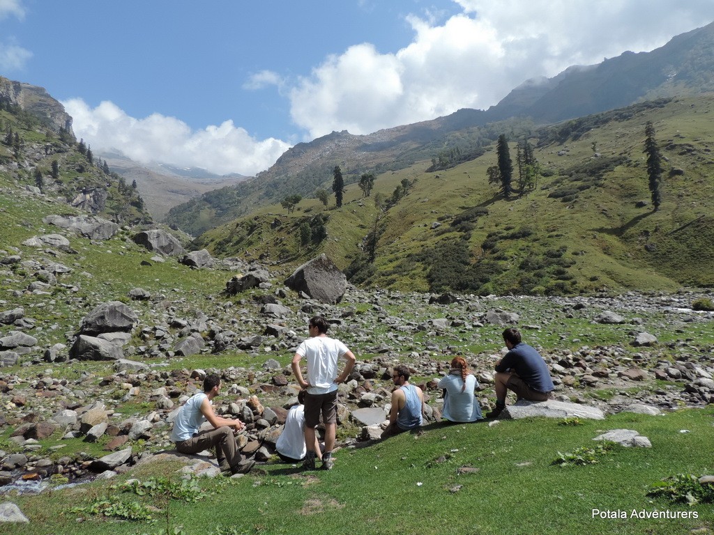
This Mulkila Circuit trekking program sets out from the Jobri (2900m) in Hamta valley. At the beginning of Hamta valley and ends after arriving at Baralacha La (4890m). Beginning to trek from Jobri (2900m) gentle and easy trail through thick silver oak forest, Hamta river to Chikka (3300m), following by small stream before Jwara. Scaling height and leaving Bears den (Balu ka Ghera) behind you cross Hamta pass (4268m). From the top of the pass, one could see peaks of Deo-Tibba (6001m) and Indrasan (6220m). Now trek down to main Chandra valley, after crossing river, following the left bank of Chandra, we cross over the wooden bridge near Chhatru (3100m). Further 45 km on a dirt road, driving up to Kunzum La (4551m) having a view of Spiti valley, 8 km trek down in large meadows, the lake of moon approached. The view of Mulkila peak will remain in sight soon after starting a trek from Kunzum la. Further, the trail crosses the two rivers crossing Tokpo Yongma and Tokpo Gongma. Crossing over the boulders and grassy stretches, reach the top of the Baralacha La. The pass joins the Manali-Leh national highway.
Trip Highlights
- A spectacular crossing from Lush green Kullu to Lahaul-Spiti valley
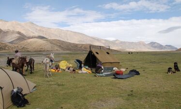
- Camp at High Alpine meadows
- Chandratal Lake - The lake of Moon
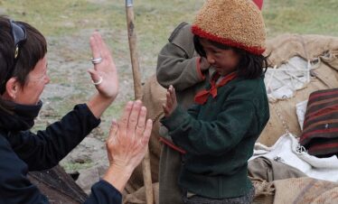
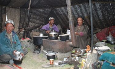
- Meeting with Gaddi Himalayan Shepherds
- View of Bara Shigri glacier peaks, Moulkia group of peaks, Keorang group of peaks, CB group of peaks