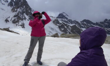
The Parang La is a high mountain pass located between Spiti and Ladakh. The Parang la trekking route follows an ancient, historical and traditional trade route once was between Spiti, Changthang & Tibet. it’s 8 days trekking from Dumla near Kibber. The route crosses the upper reaches of the Pare Chu and continues to Lake Tsomoriri in Ladakh. The Parang La at an altitude of 5570 m. To the south of the pass, there are fewer snowfields. To the north is a long glacier crossing. To the Northwest there is Takling La, which is nowadays used less by trekkers, mostly takes the Parang La route. Opened to tourists in 1994, Potala Adventurers took the first Parang La trek in 1996, Kibber – Kiangdam – Pang trek. Since then we have organized numerous treks in this region, some of which were includes also the climb of Chamser – Lungser Kangri. To add more adventure to this trip, a Mentok Kangri climb is an option.
-
Car
-
5,570 m
-
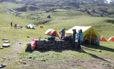
Tent, Hotel
-
Manali
-
Manali
-
Trekking/Hiking
-
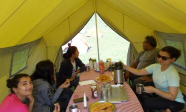
All meals during the trek
-
Innerline permit
-
Difficult
-
5,170 m
Overview
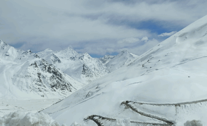
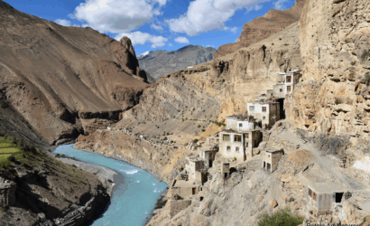
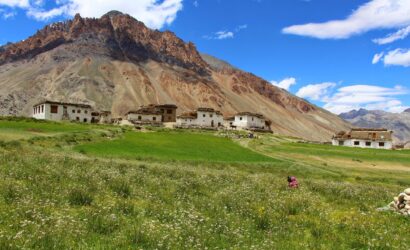
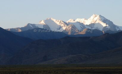
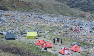
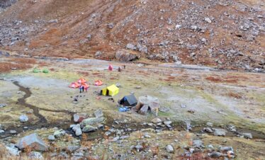
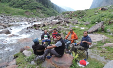
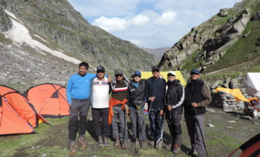
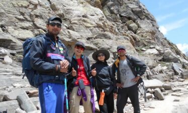
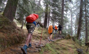
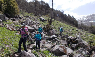
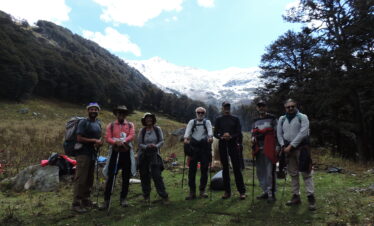
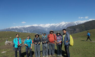
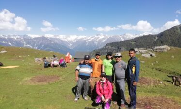
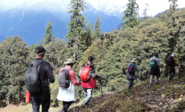
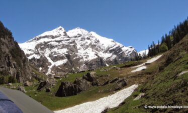
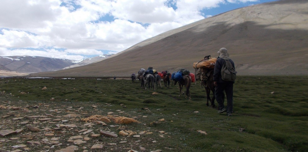
Setting off from Dumla near Kibber (4250m), Kibber meadows is a breeding ground for famous Spiti horses and also the home of elegant Snow Leopard. The route goes to Parilungbi gorge. Stepping over the Thaltak meadows, moraine stretches, crevasses, and glaciers, climb to the high mountain pass of Parang La (5570m). The source of Pare Chu River. Following the Pare Chu, which flows towards South into the Tibet frontier near Chumar village and again enters in Spiti valley,
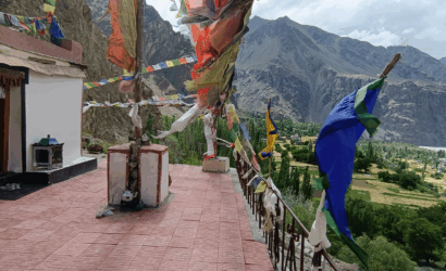
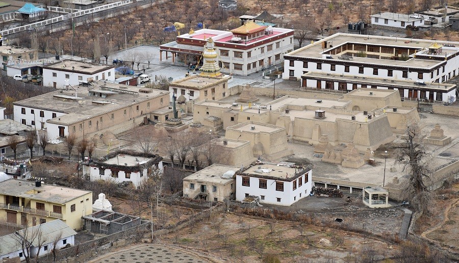
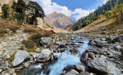
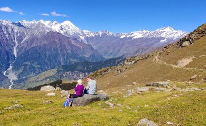
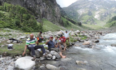
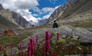
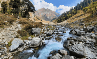
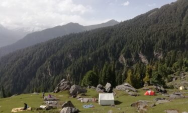
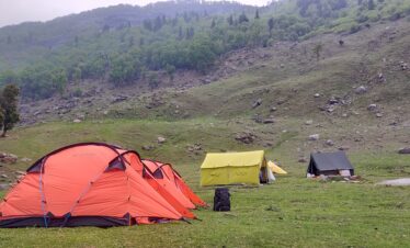
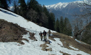
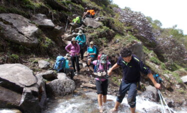
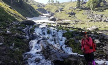
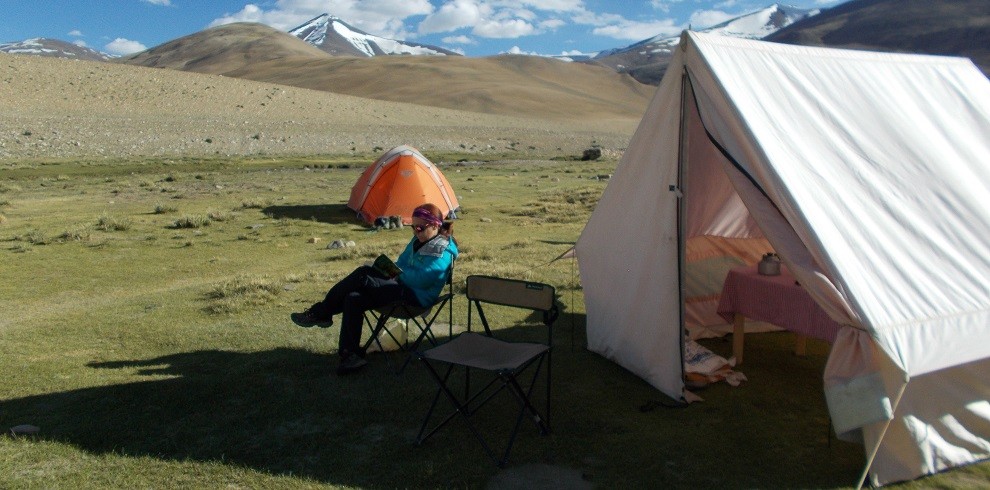
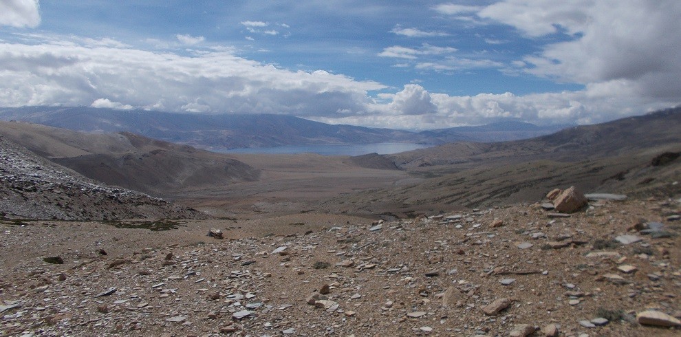
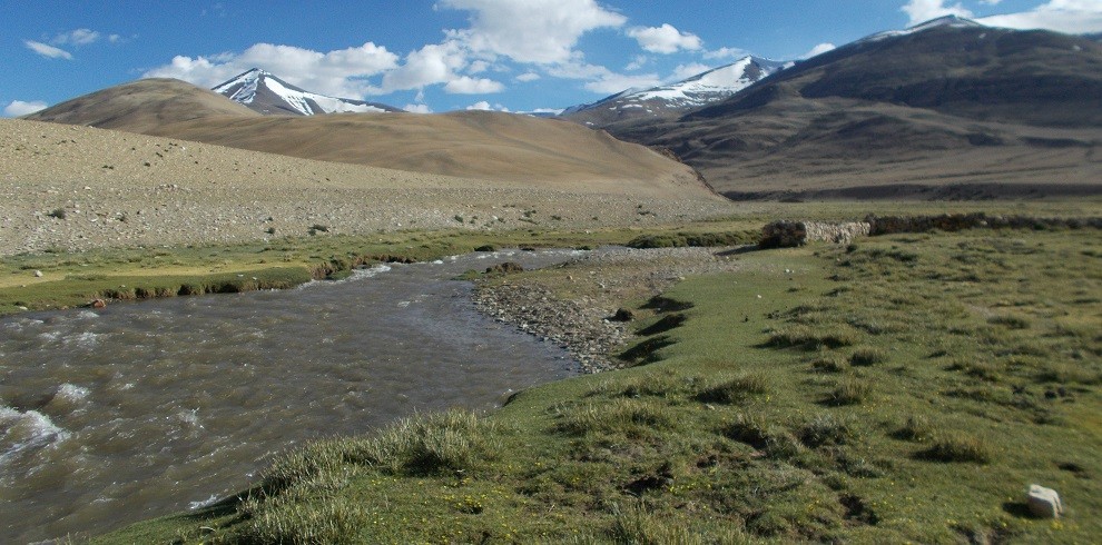
There are no people on the whole route unless you meet a few Changpa nomads near the Lake at Kiangdam. Today most nomadic herdsmen live between the valley near Thelakong la, Lanyar area. A vast valley that goes from near Kiangdam. It is a high-altitude trek, the route remains above 4400m most of the time. Thus proper acclimatization at Kaza or Kibber is essential for doing this trek. The other challenging and significant problem can be the crossing of multiple mountain streams, which can be very cold during bad weather. It is therefore essential to have good sandals. The last two campsites location are the best in the entire trek. The rewarding point is at the end of the trek when you reach deep blue turquoise Tsomoriri at the Kiangdam, southern shore of Tso-Moriri. Kiangdam is named after Kiang (Tibetan wild ass) which roams in this area. Tsomoriri is also a breeding ground for the black-necked crane, bar-headed geese, Brahminy ducks. Arriving at Korzok trail goes to the large changpa settlement at Korzok Phu and ascends to Yalung Nyau la, another high pass of this trek. Soon a series of passes and passing & meeting with Changa nomads we finish our trek at Pongunagu near Tsokar. Finally short drive to join Leh – Manali highway at Debring and to Taglang la, then along the Indus river to Leh.
Trip Highlights
- Ancient trade route & high-altitude trek
- High passes & high Lakes of Ladakh
- Trekking in Changthang region of Ladakh
- Meeting with Changpa nomads of Ladakh
- Turquoise Lake of Tsomoriri