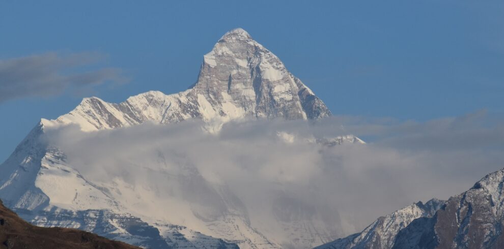
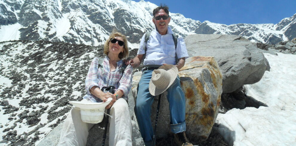
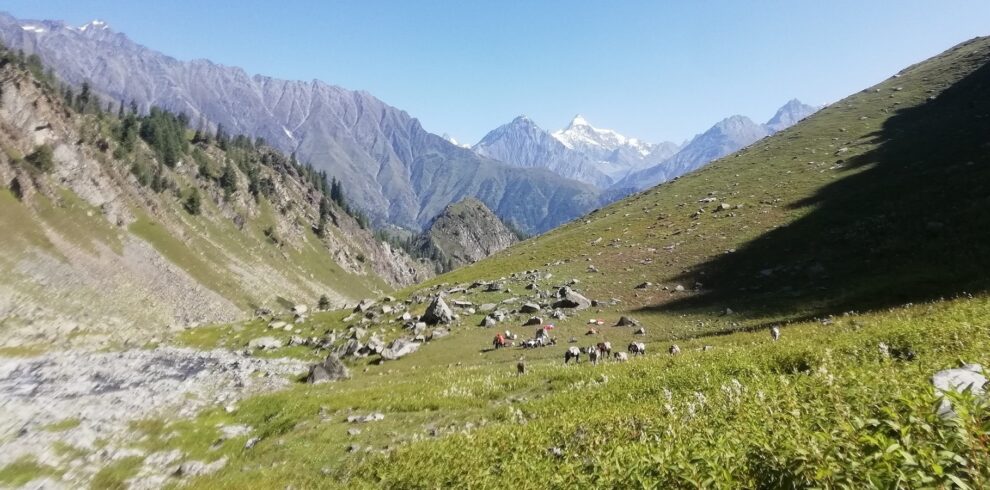
To the West of Manali lies Kalihani pass at an altitude of 4820m Connecting remote Bara Bangahal village of Kangra district. During summer to late Autumn, this area is mainly inhabited by Shepherds and this pass is frequently used by them to go rain shadow of high grassland. Apart from Shepherd’s route, this area has one of the best trekking routes in the Manali region. Spectacular view of Great Himalayan Range and snow-clad peak rising above 6000m i.e. Indrasan 6220m, Deo Tibba 6001m to the East and Maker Beh 6068m, Shikar Beh 6200m to the North and looking down the beautiful Kullu valley are main characteristics of this trek.
Overview
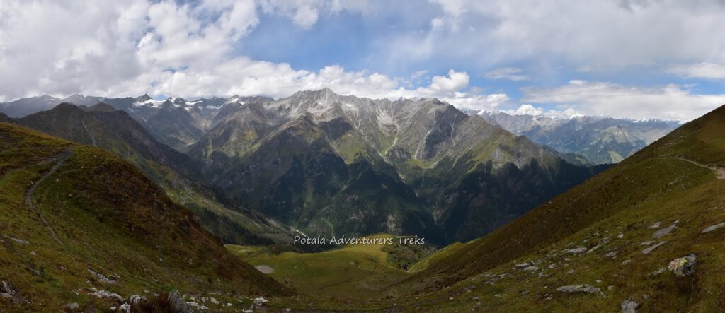
To the West of Manali lies Kalihani pass at an altitude of 4820m Connecting remote Bara Bangahal village of Kangra district. During summer to late Autumn, this area is mainly inhabited by Shepherds and this pass is frequently used by them to go rain shadow of high grassland. Apart from Shepherd’s route, this area has one of the best trekking routes in the Manali region. Spectacular view of Great Himalayan Range and snow-clad peak rising above 6000m i.e. Indrasan 6220m, Deo Tibba 6001m to the East and Maker Beh 6068m, Shikar Beh 6200m to the North and looking down the beautiful Kullu valley are main characteristics of this trek.
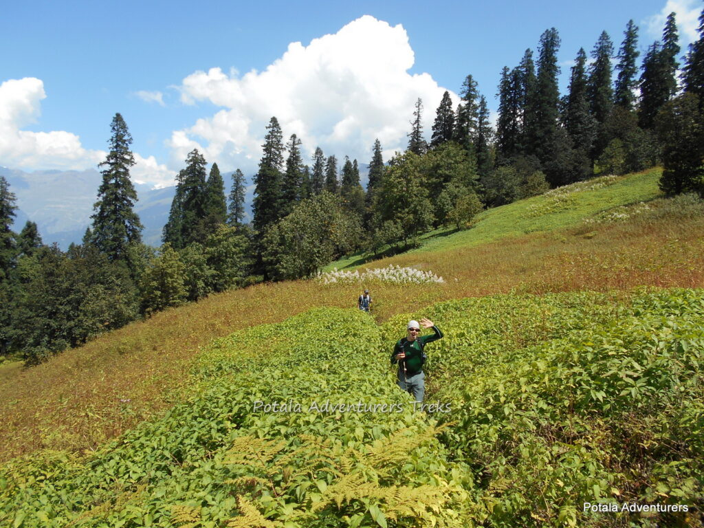
Setting off from near Hadimba we climb gently through a thick forest of Cedar and Oak. Climbing up through the Manalsu River valley the gentle slopes and lush green meadows of Lamadugh appears. Later trek beneath the ridge of Khanpari Tibba (4,025m) we arrive at a place from where Indrasan (6,220m.) And Deo Tibba (6,001m.) peaks can be seen. One can see the full view of Manali town and upper Kullu valley. Continue going upward through brilliant shrubs of Rhododendron, Birch pave on the way, and wildflowers all around. Arriving at the dome of Khanpari to have a spectacular 360-degree view of the Great Himalayan Range to the East, Dhauladhar range to the West, and Pir-Panjal range to the North. Keep your attention towards wildlife to see Monal, Fox, and Bear.
ITINERARY
Day 1: Manali to Dungri (2100 m) by car, Trek to Lamadugh (3050m), 5 hrs
Setting off from near Hadimba we climb gently through a thick forest of Cedar and Oak. Climbing up through the Manalsu River valley the gentle slopes and lush green meadows of Lamadug. Climbing up through the Manalsu valley the gentle slopes and lush green meadows of Lamadugh appears. Beautiful campsite with a wonderful view of the surrounding. Keep your attention towards wildlife to see Monal, Fox, and Bear.
Day 2: Trek Lamadugh to Riyali Thach (3480m), 6-7 hrs
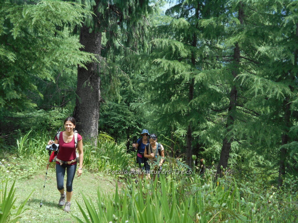
Leaving camp trek through steep ridge below Khanpari Tibba (4,025m) we arrive at a place from where Indrasan (6,220m.) And Deo Tibba (6,001m.) peaks can be seen. One can see the full view of Manali town and upper Kullu valley. Continue going upward through brilliant shrubs of Rhododendron, Birch pave on the way, and wildflowers all around. Arriving just below Khanpari we follow the trail which is going eastern top of the mountain, by the afternoon arrive at the dome of Khanpari to have a spectacular 360-degree view of the Great Himalayan Range to the East, Dhauladhar to the West, and Pir Panjal to the North. Descent along the ridge to the campsite.
Day 3: Trek Riyali Thach to base camp Shangor (3960m) 5-6 hrs
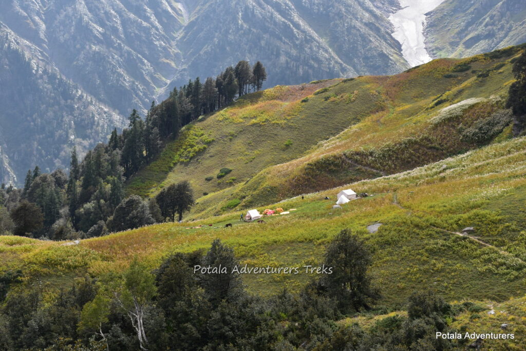
From Riyali we follow the trek in the alpine forest until reaching a small stream, cross it and walk along the left side for a few minutes. Continue stepping up where the tree line finishes and you have a wonderful view of upper and lower Kullu valley. Overnight halt at Shangor base camp.
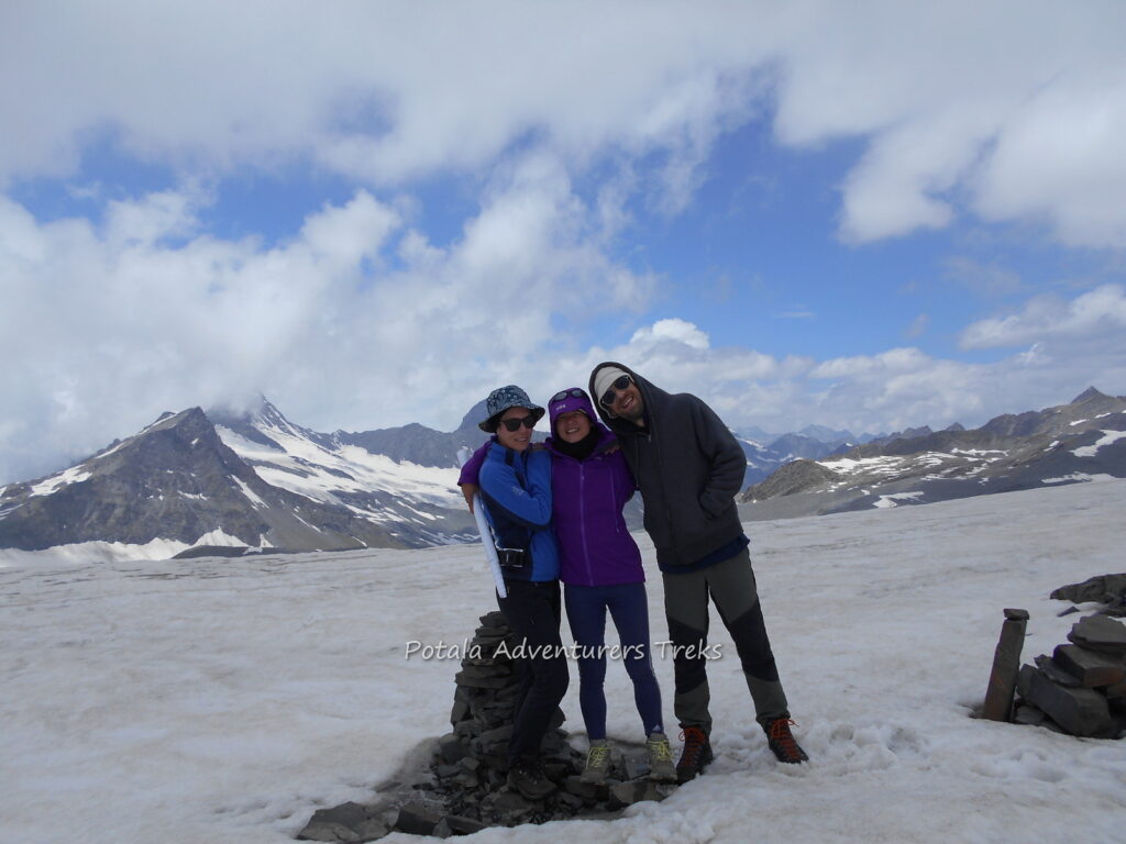
Day 4: Trek Kalihani pass (4820m) – Back to Shangor. 8- 9 hrs
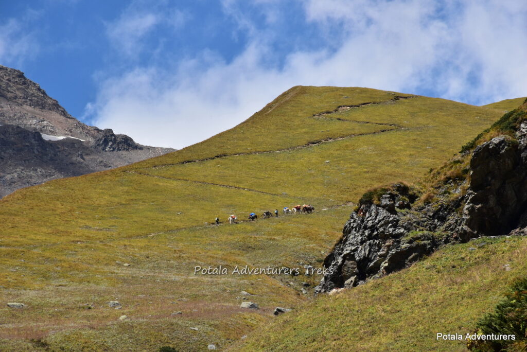
We climb steadily on a rocky path, along a snowy glacier climb the moderate slope to the foot of the pass. Then climb over glaciers is interesting. Finally, arrive at top of the Kalihani pass (4,830m). From here view around the major peaks of Kullu and Lahaul valley. Finally, descent to base camp and continue to Riyali Thach.
Day 5: Trek Shangor to Rani Sui Lake (3780m) 6-7 hrs
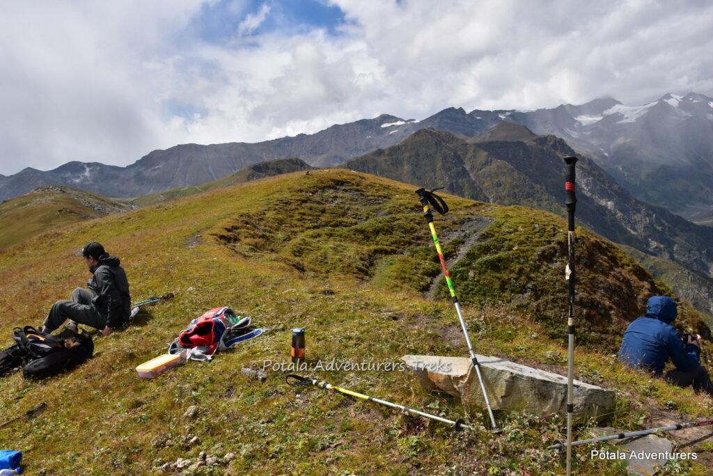
After breakfast, we trek continue over open meadows and take a trail that leads to a tiny lake called Ranisui. The trail climbs and descends along the ridge. The view toward the east at the best in the clear sky. Especially having Indrasan and Deo Tibba. We are always on an open meadow, crossing the pass continue to near Rani Sui Lake for overnight camp.
Day 6: Trek Rani Sui Lake to Khanpari Tibba (4020m) to Maylee Thatch (3450 m). 4-5 Hrs.
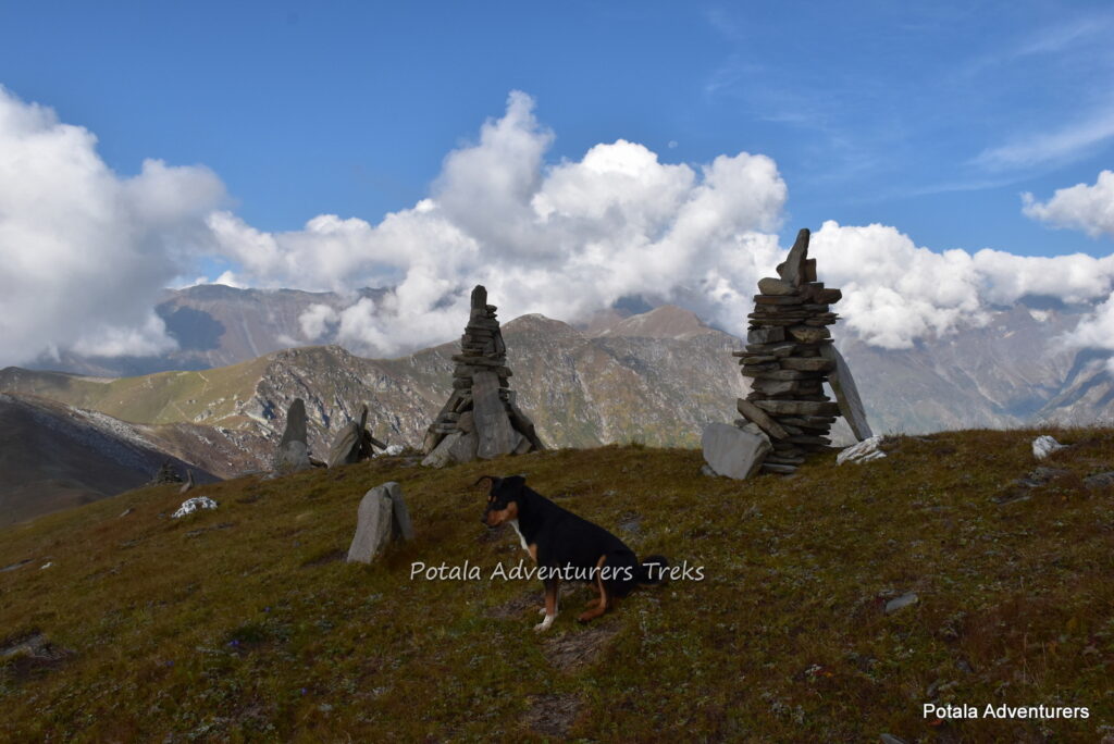
Today leaving camp, at first we ascend to Khanpari Tibba to have a panoramic view of Beas River valley. After a short break here, we descend along the ridge to Mahili thach. The ridgeline trail
presents a spectacular view of upper Kullu valley. Vast Apple orchards at the valley floor and Beas River making its way to the south. Enjoying the view on both sides, final descent to Mahili Thach campsite, which sits just above treeline.
Day 7: Trek Maylee Thatch to Shangchar (2350m) 3 hrs, Shangchar to Manali by car. 2 Hrs.
Today leaving camp, the trail descend through alpine forest and continues through Apple fields to Shangchar village. A walk pass by the village to road head, where our car will be waiting for us & Kalihani pass trek ends here. Its 1:30 to 2 hrs. of drive to Manali.
Trip Highlights
- Alpine Meadows
- Scenic Mountain Trail
- Panoramic view
- Peaceful Campsites


