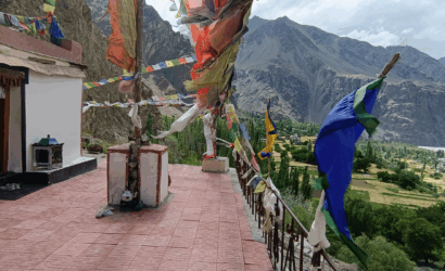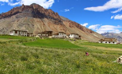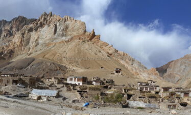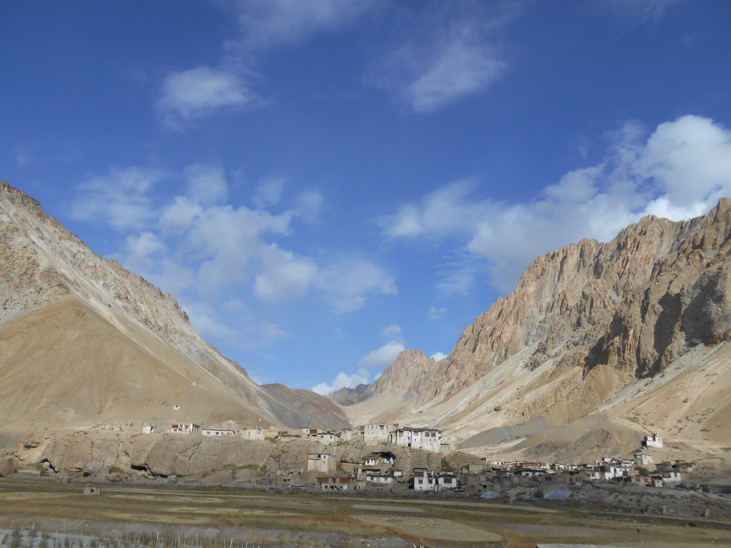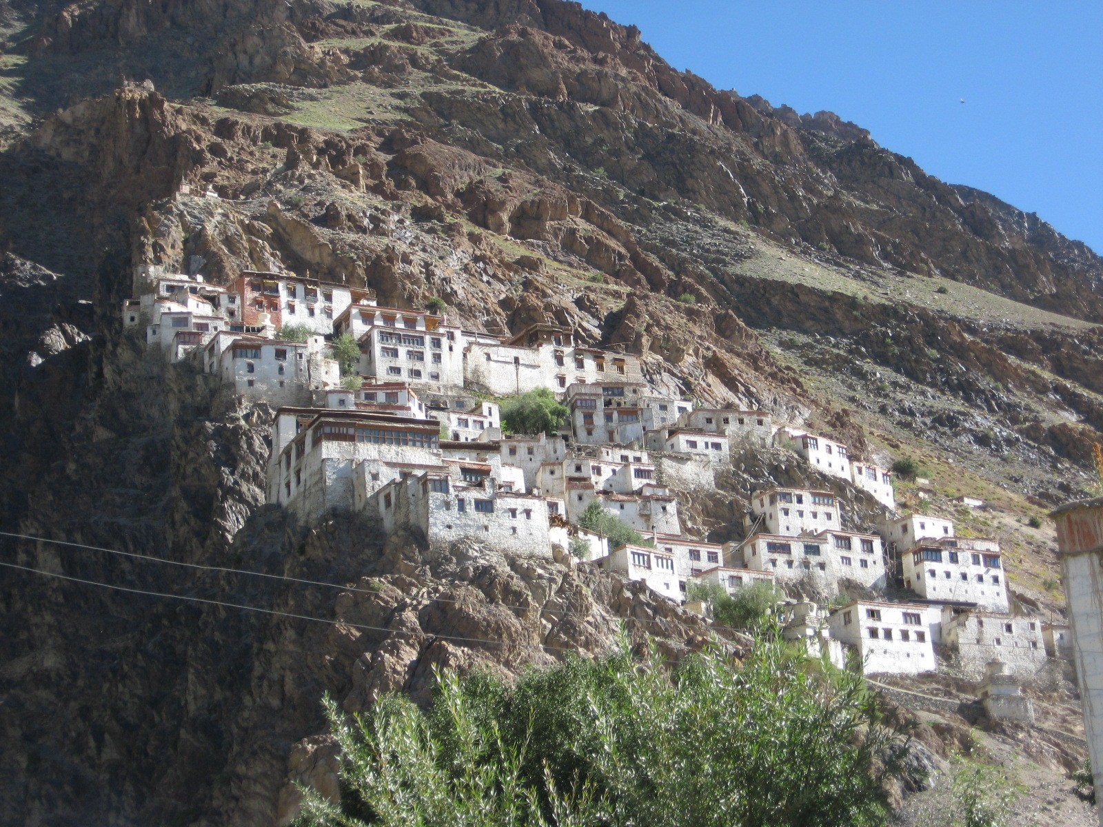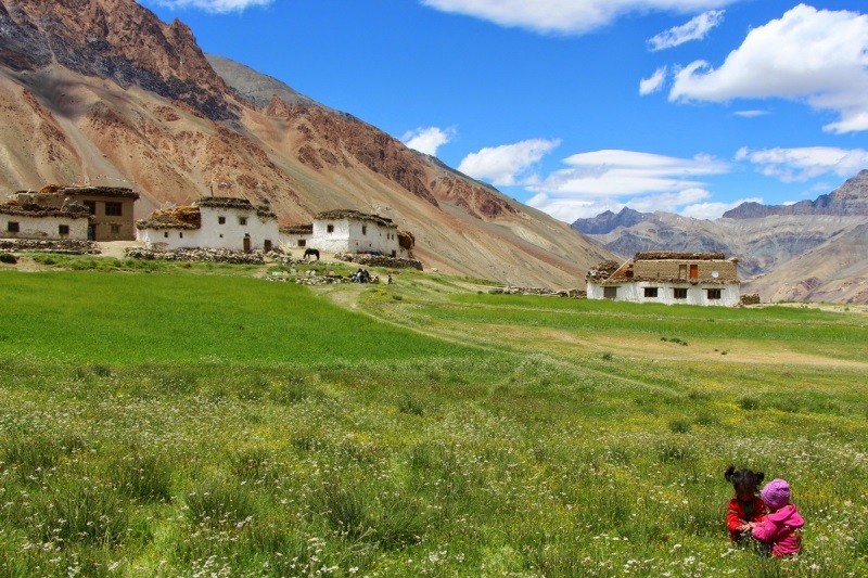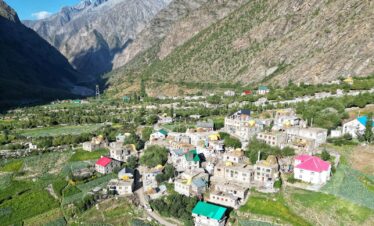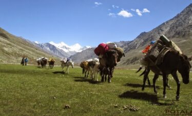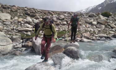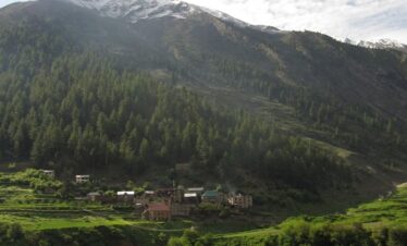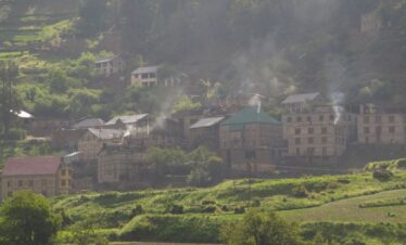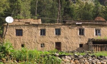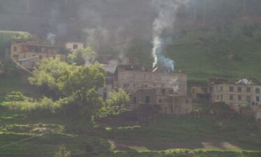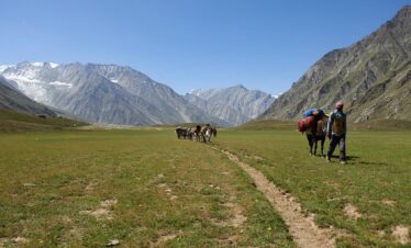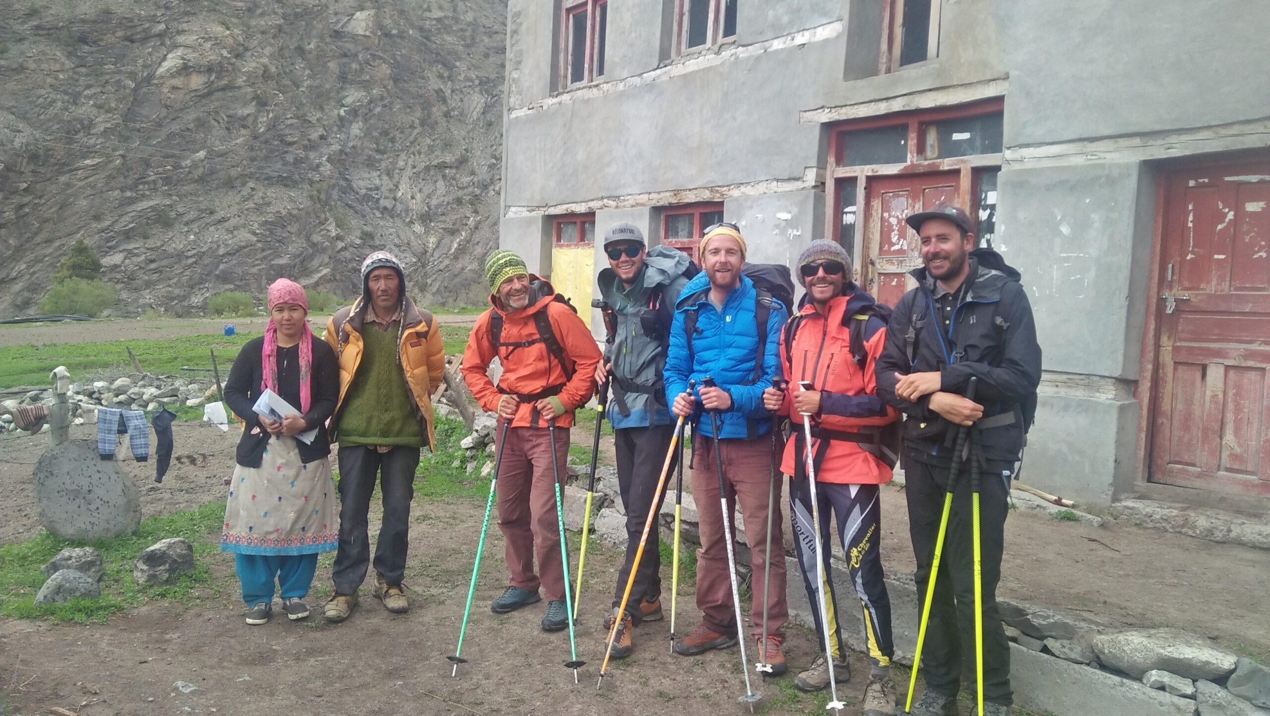
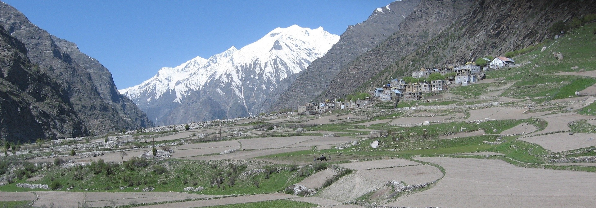
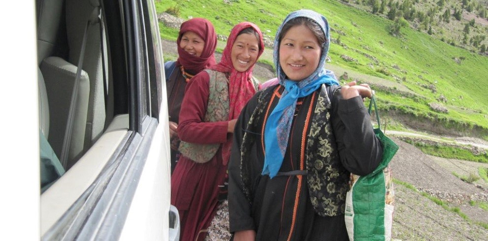
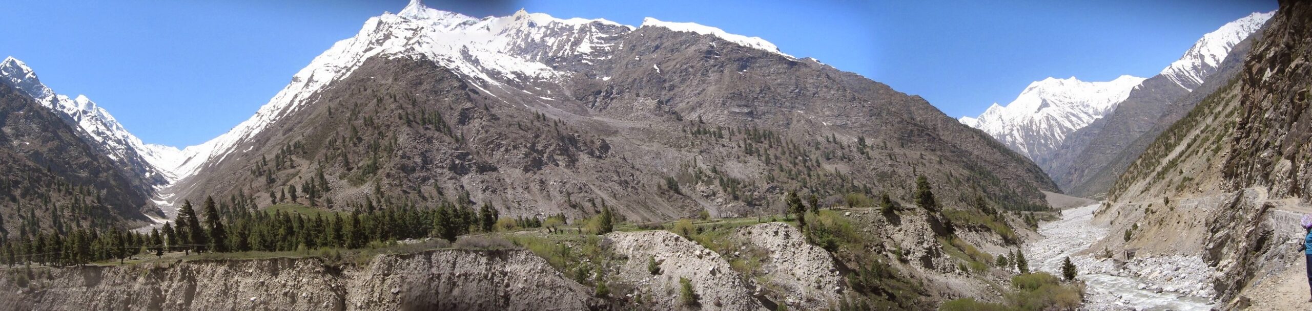
The Miyar Valley, located in the Indian part of the Great Himalaya Range, stretches for over 100 km from Udaipur to the Kang La. The locals – the Tharanga people – are mainly shepherds and farmers much like the Gaddis but follow a curious mix of Hindu/Buddhist religion.
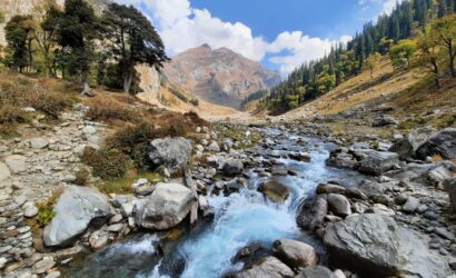
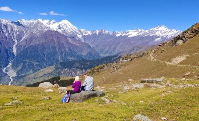
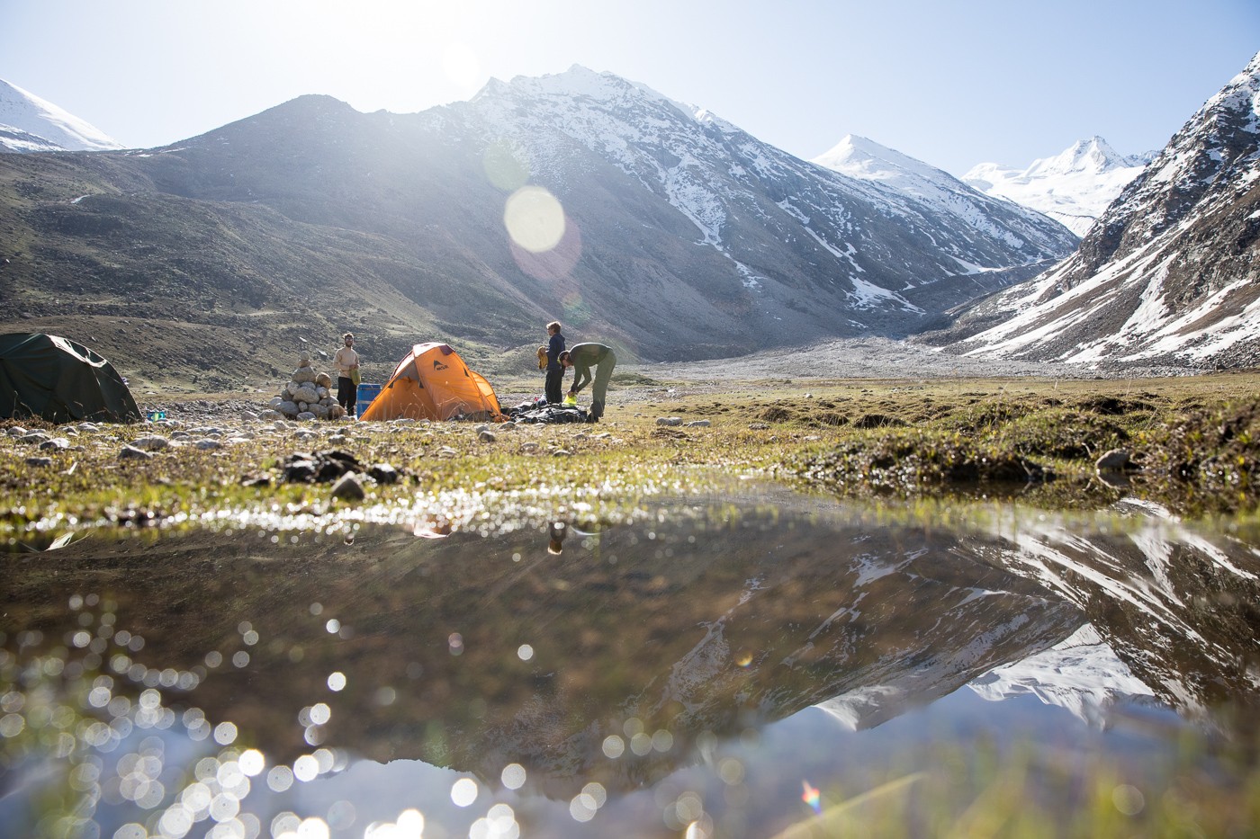
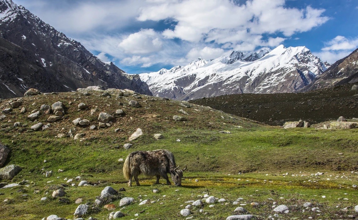
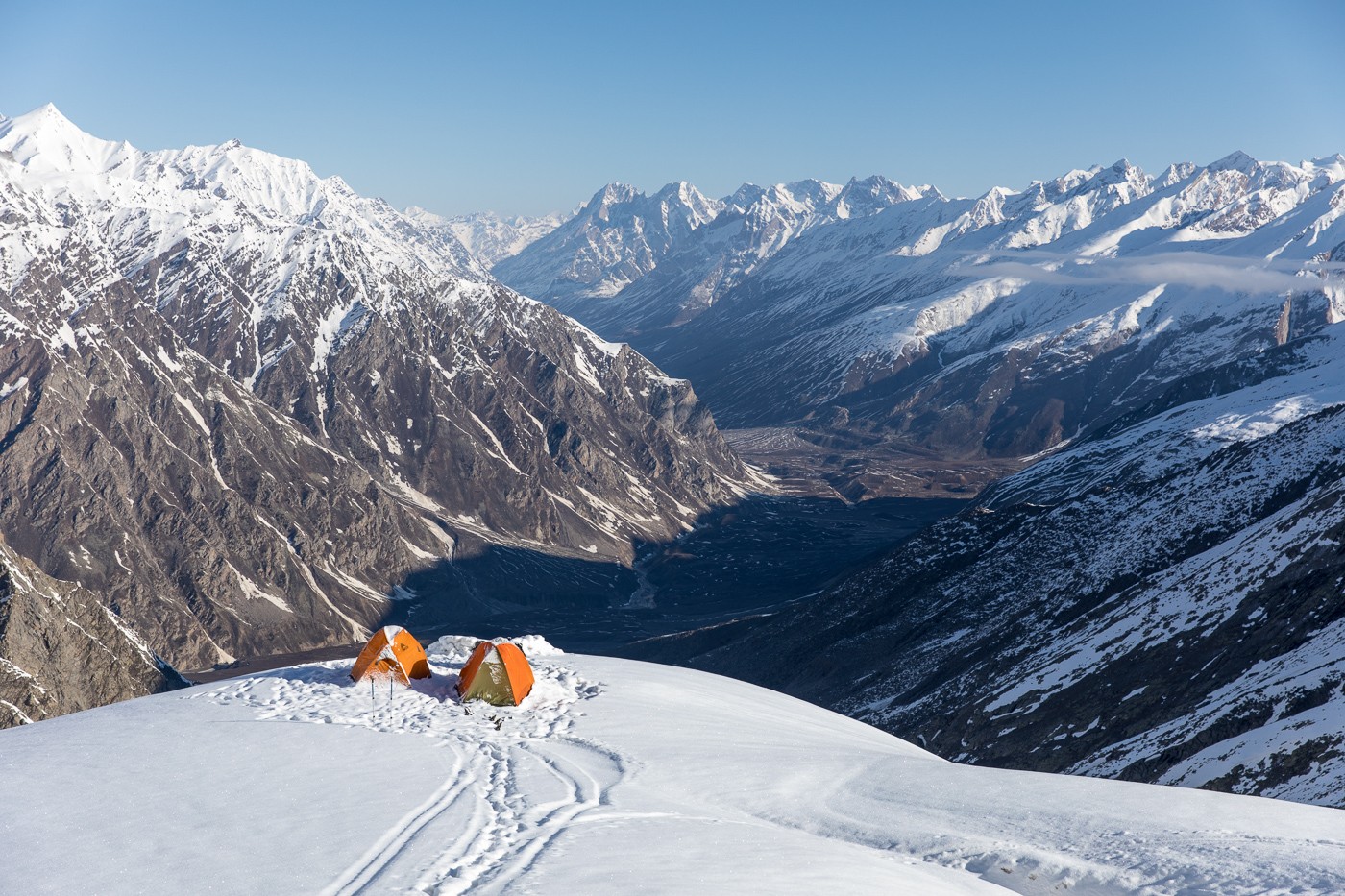
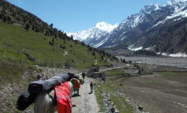
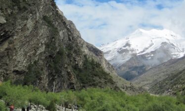
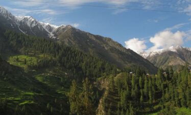
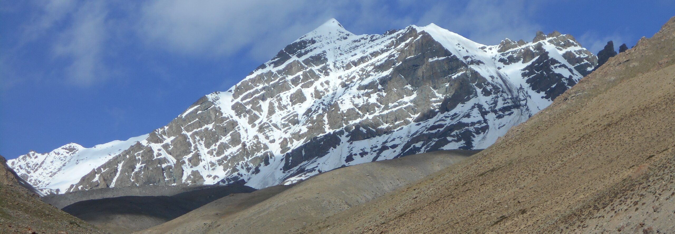
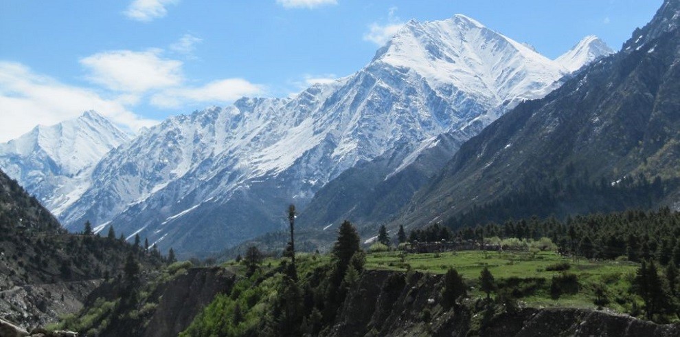
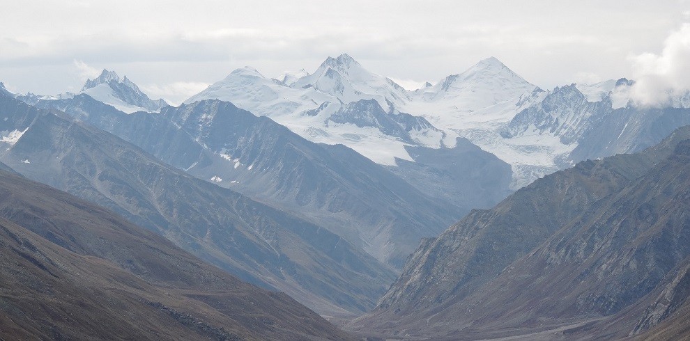
It is the westernmost of the Lahul valley‘s on the watershed between the Lahul & Zanskar in Ladakh, it’s known for its profusion of wildflowers and medicinal herbs especially during July and August, and its breathtaking landscape of quaint villages and rolling meadows which are replaced by glaciers and big rock walls as you move deeper into the valley. In recent years the valley has also attracted a lot of climbing teams (Teams from Slovenia, Poland, Italy, US, UK & India, and Spanish too, It is hosts hundreds of peaks that are, by Himalayan standards, accessible and low in altitude, with very few exceeding 6000 m. As a result, Alpine-style routes are possible here that have a technical standard not normally seen in the Himalayas. The wealth of climbing possibilities here led Chris Bonington to dub it as “the Yosemite of India”
-
Car / Jeep / Tempo Traveler
-
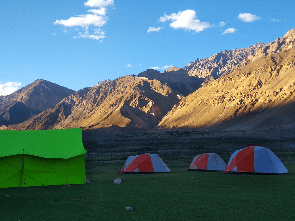
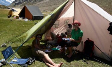
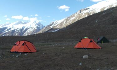
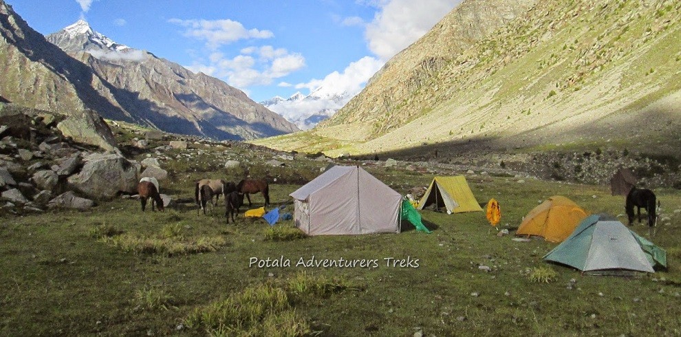
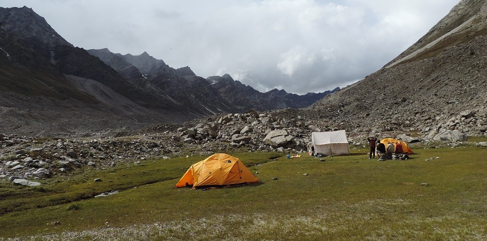
Tent
-
5450m
-
Manali
-
June, July, Aug, Sept
-
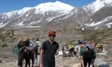
Eco-Tour / Hiking
-
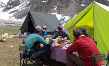
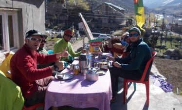
All meals during the trek
-
Forest & Police entry at Udaipur
-
Strenuous
-
English, Hindi
-
14
-
65
-
1 - 12
Overview
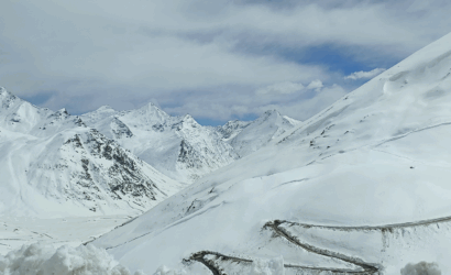
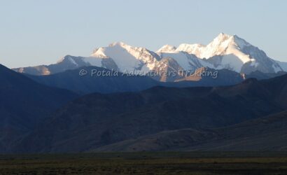
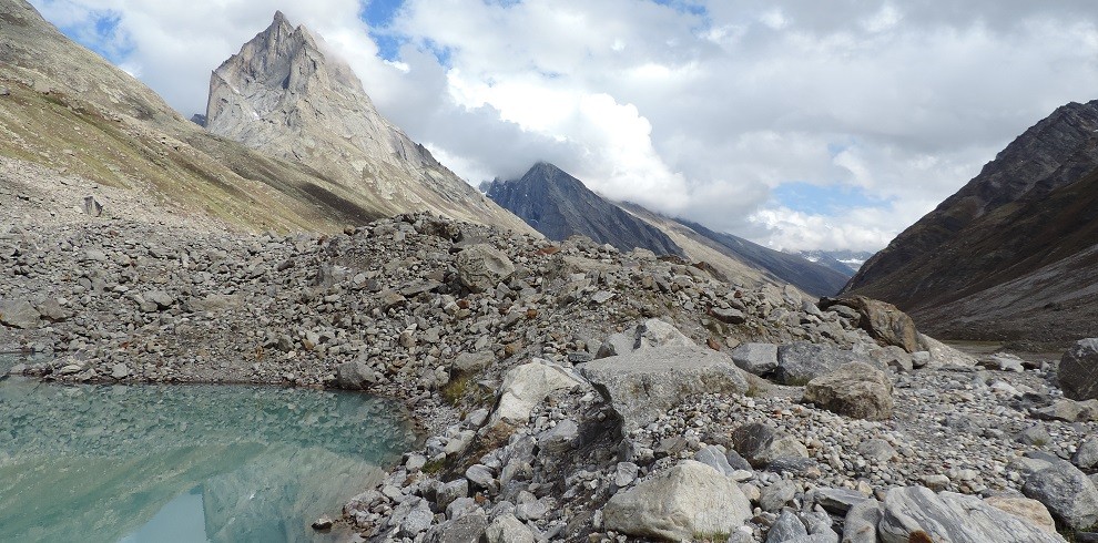
Famous peaks in the area are: Menthosa 6443mtrs / 21260ft is the largest peak in the area. For trekkers, the Udaipur (Urgos road-head) -Kang La -Padum (Zanskar traverse) is quite popular another viable option is to link up the Chandra Valley and Miyar via the Taralumsa pass or Urgin La. Another interesting option would be the crossing of the Poat La pass which would link up the Kishtwar Region to the Miyar Valley.

Highlights
- Miyar valley and Kang La Glacier
- Valley of Flowers
- High Alpine Meadows & Gaddi Shepherds
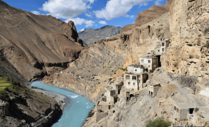
- Souther Zanskar and its High Villages